Engineering Survey Sydney
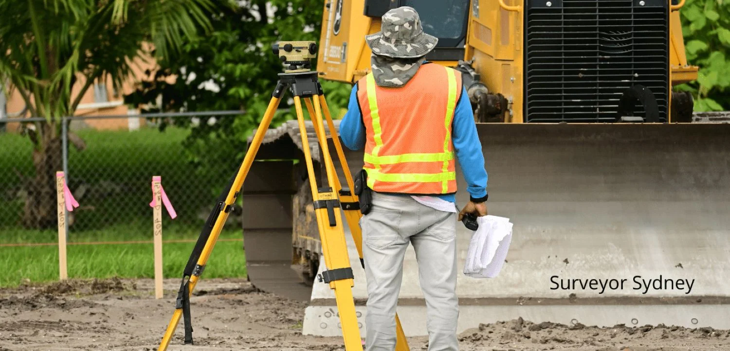
Every road, bridge, and pipeline in Sydney started with engineering surveyors establishing the control framework that made construction possible. We provide the spatial backbone for civil works - the reference points, monitoring data, and as-built records that keep projects on track and on spec.
- Free Professional Counsel & Proposal
- Cutting-Edge GIS, GPS & Laser Technology
- 100% Satisfaction Guarantee
Get Your Free Quote
Fill out the form below and we'll get back to you within 24 hours.
Accuracy for Large Scale Projects
Where boundary surveys define legal property lines, engineering surveys deal with construction reality. We establish the control networks that contractors work from. We set out column grids so steel goes in the right spot. We monitor adjacent buildings when excavation goes deep. And when it's done, we survey what was built so there's an accurate record for maintenance crews decades from now.
Road Setout
Marking centerlines, kerbs, and batters.
Volumes
Cut and fill calculations for earthworks payments.
Work As Executed
Final WAE plans for Council and authority handover.
Infrastructure
Bridges, drainage, and civil works setout.
Engineering Precision
We upload 3D design models to our field controllers and mark the design on the ground with millimeter precision. Our WAE plans are formatted for all Sydney councils.
Our Survey Process
Data Prep
Uploading 3D design models to field controllers.
Setout
Marking the design on the ground with high precision.
Check
Verifying built assets against design tolerances.
Report
Issuing conformance reports and WAE plans.
What You Receive
You will receive a digital PDF Survey Report signed by a registered surveyor.